Solution
1 / 8
Powering climate resilience through real-time, multi-source analytics to quantify risk & impact to protect infrastructure assets and communities
An interactive look at the scale of the wildfire crisis, our prediction approach, and the intelligence platform built to prevent it.
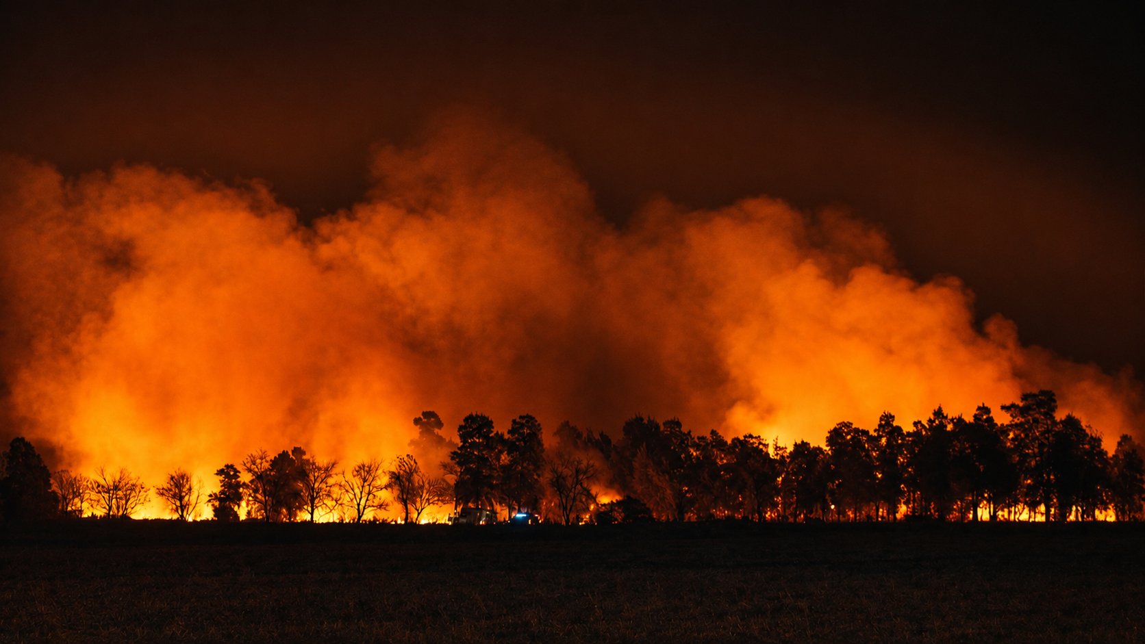
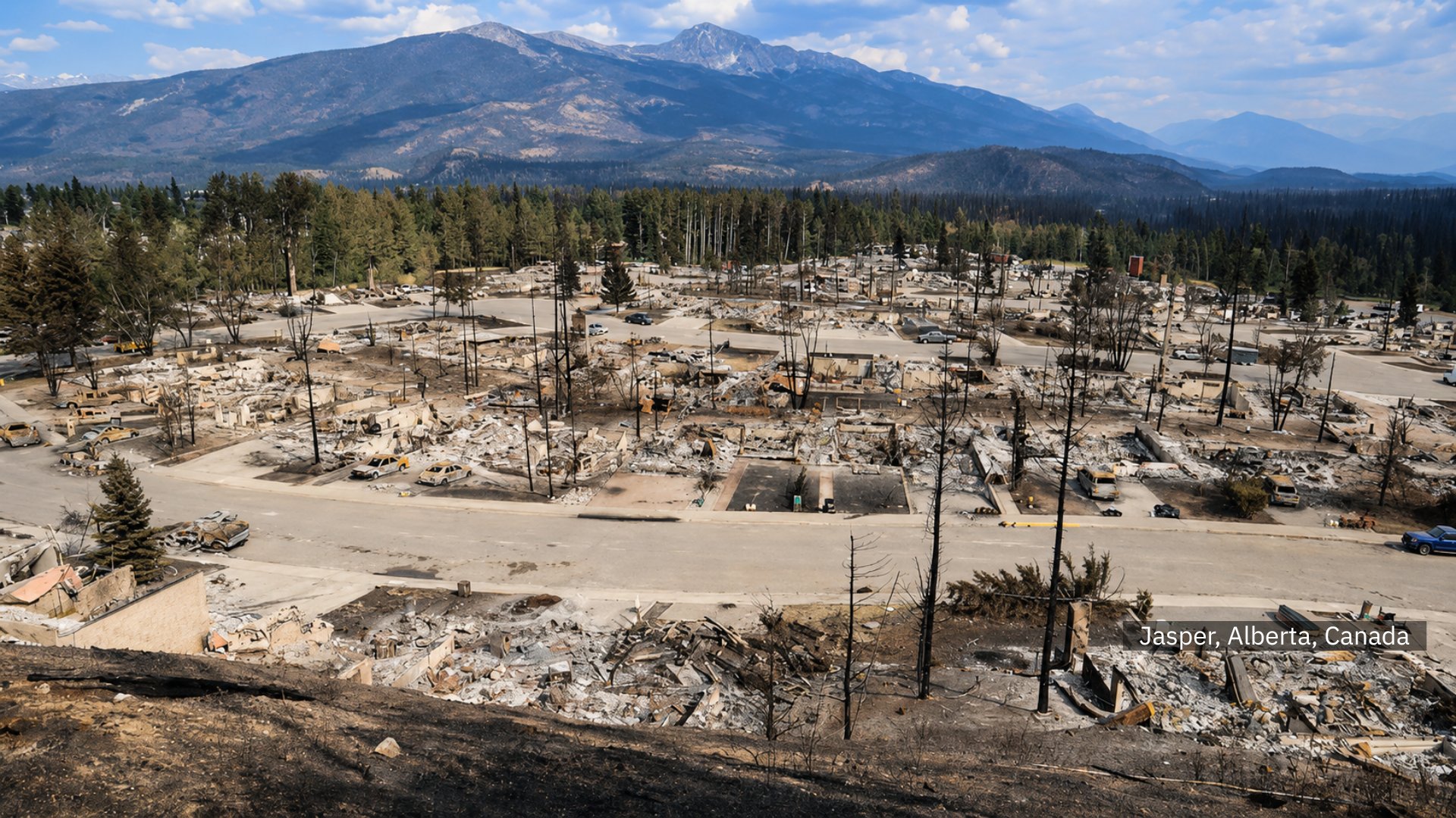
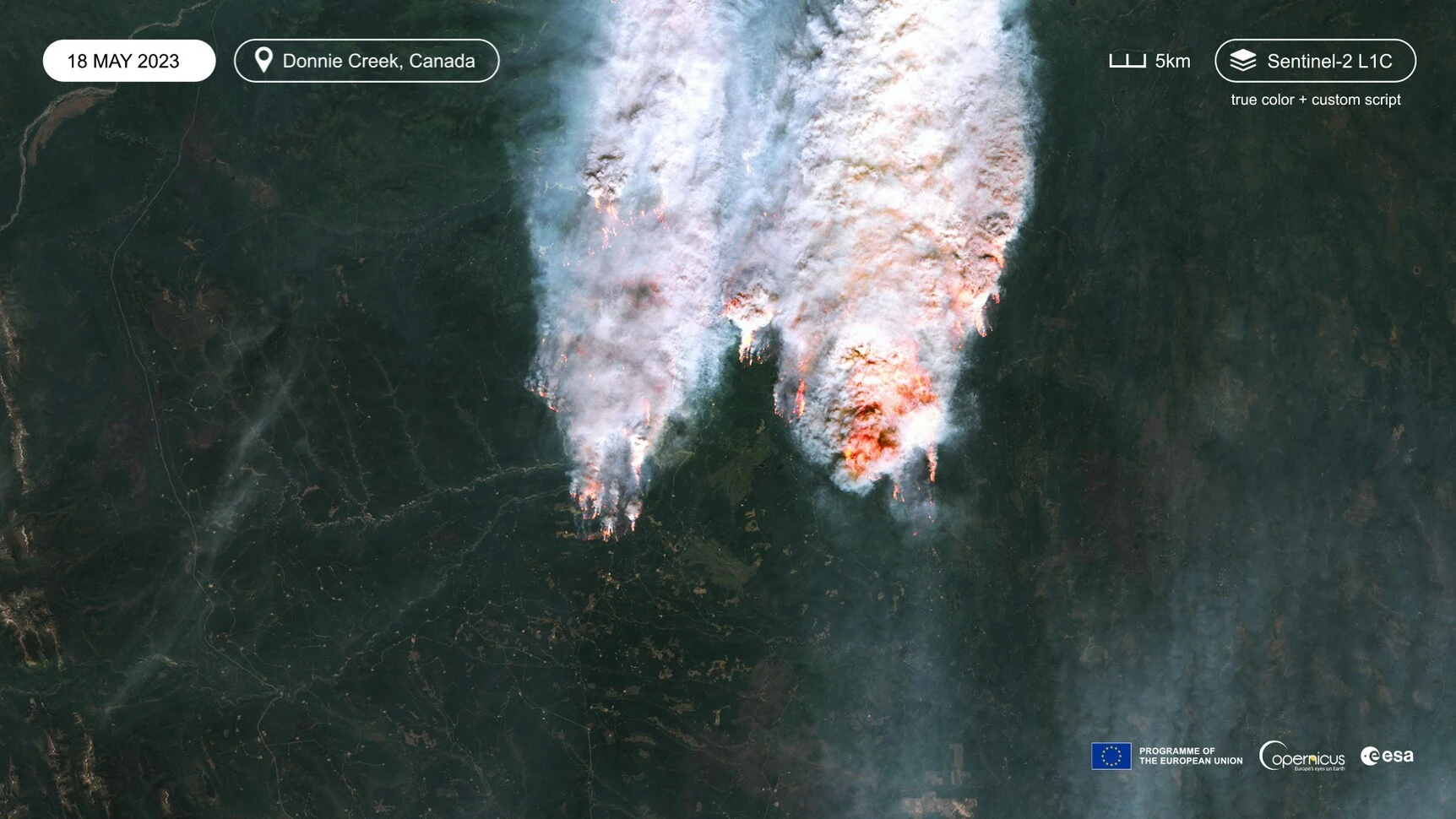
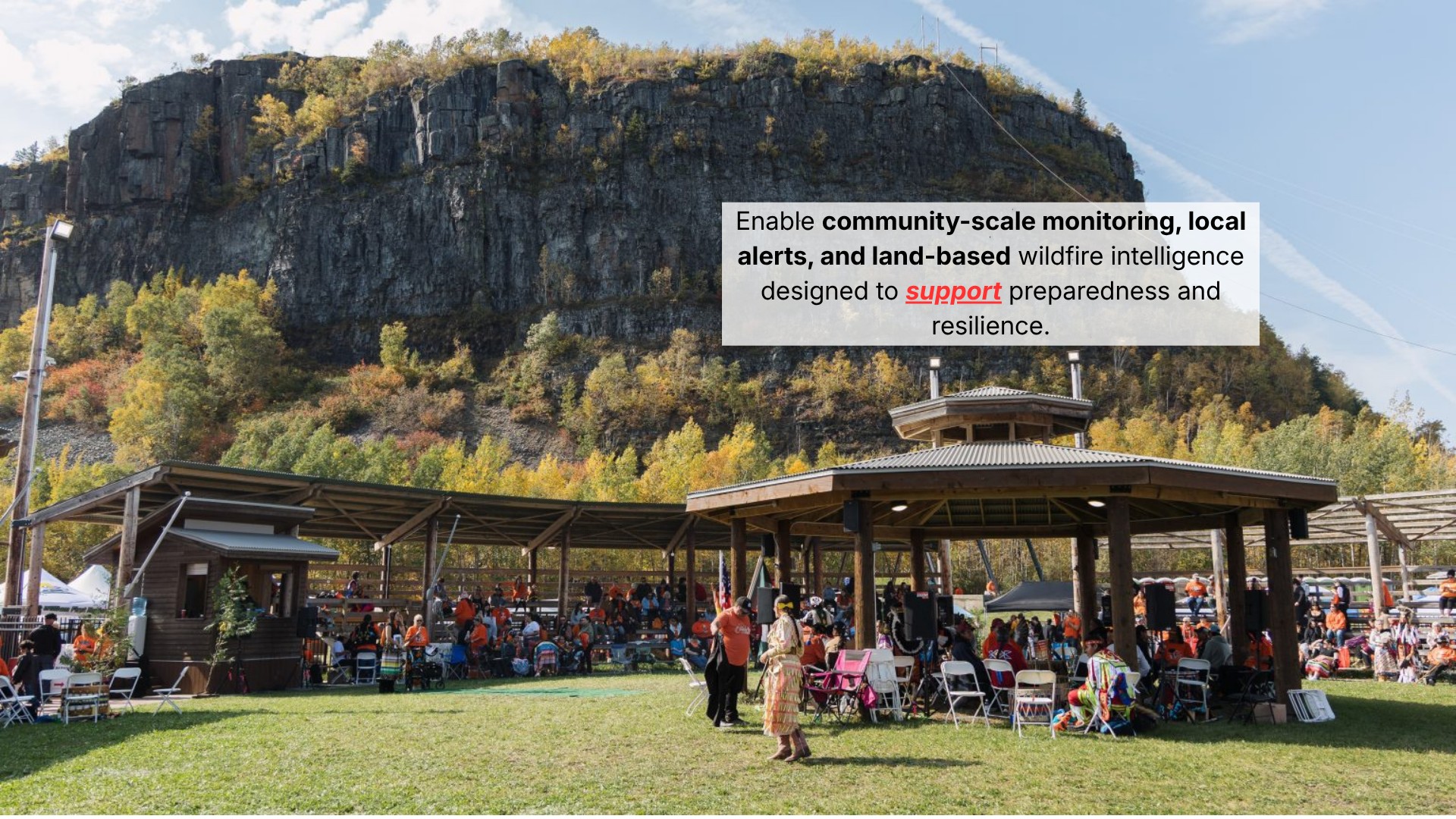
In 2025, Canada faced over 6,000 wildfires. KCOEPIA gives you the intelligence to act before destruction strikes.
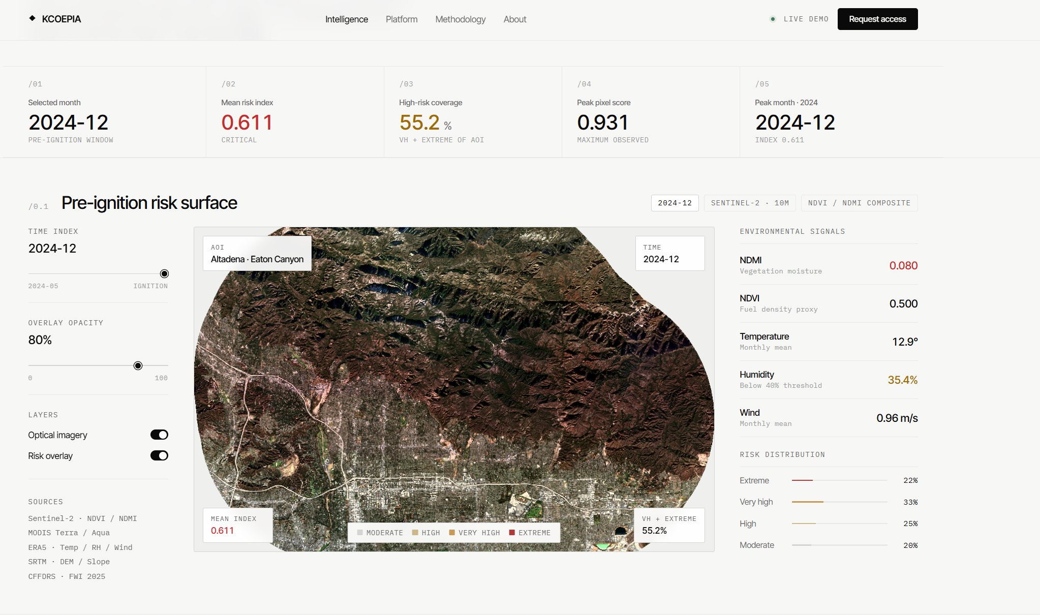
KCOEPIA fuses multi-source geospatial intelligence with proprietary risk modeling to predict wildfire risk, identify exposure, and preempt high-risk events — giving decision-makers the window they need to act.
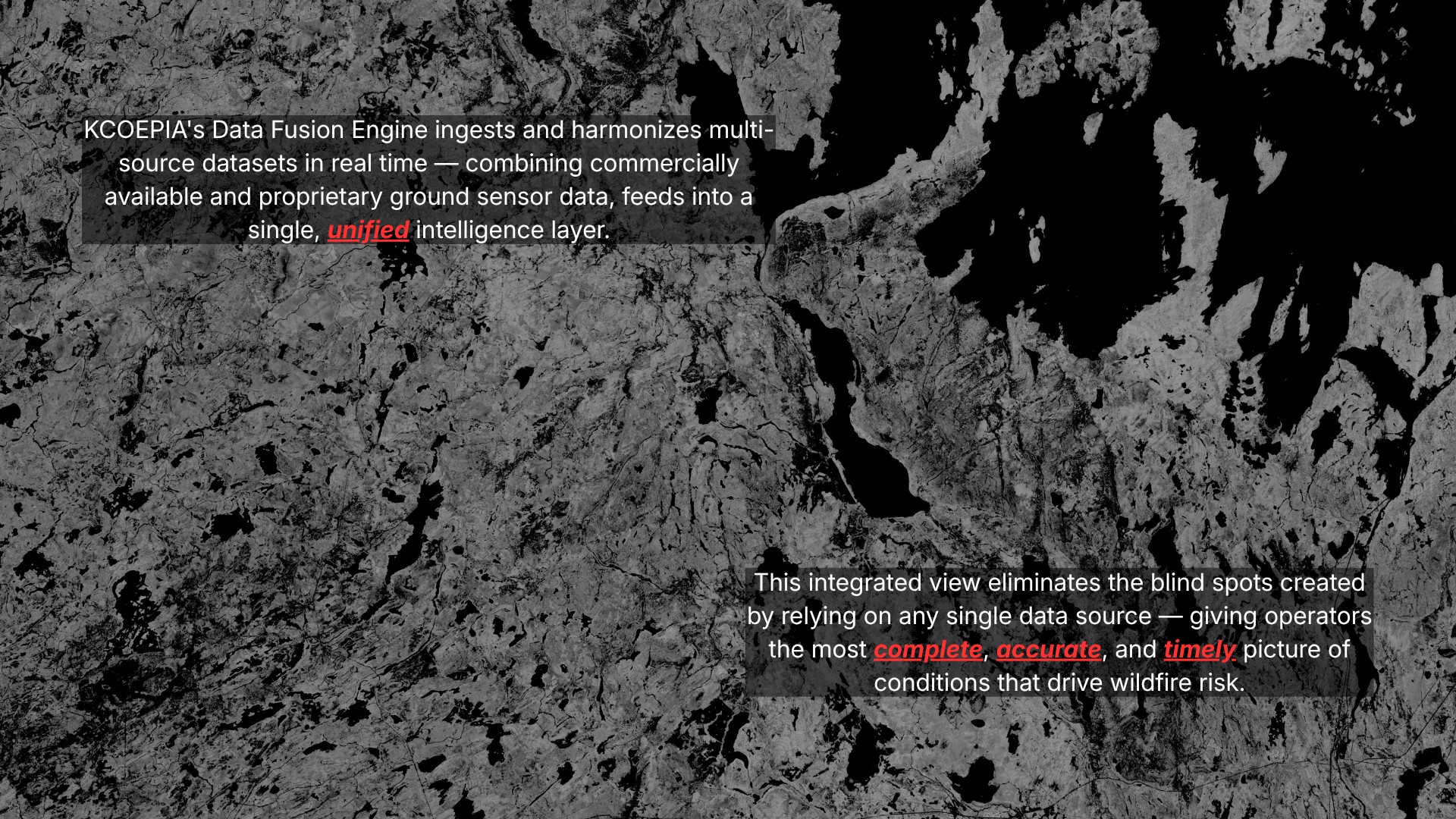
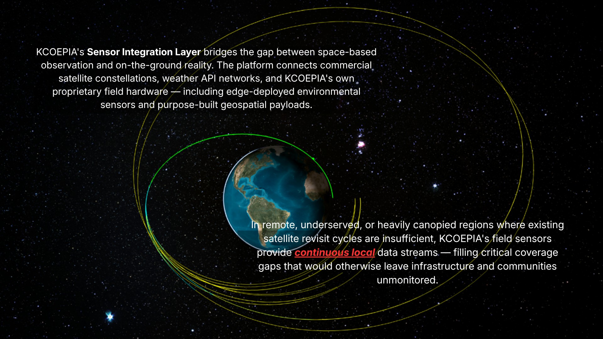
Optical, thermal, vegetation, and atmospheric signals ingested from a curated stack of satellite and ground sources.
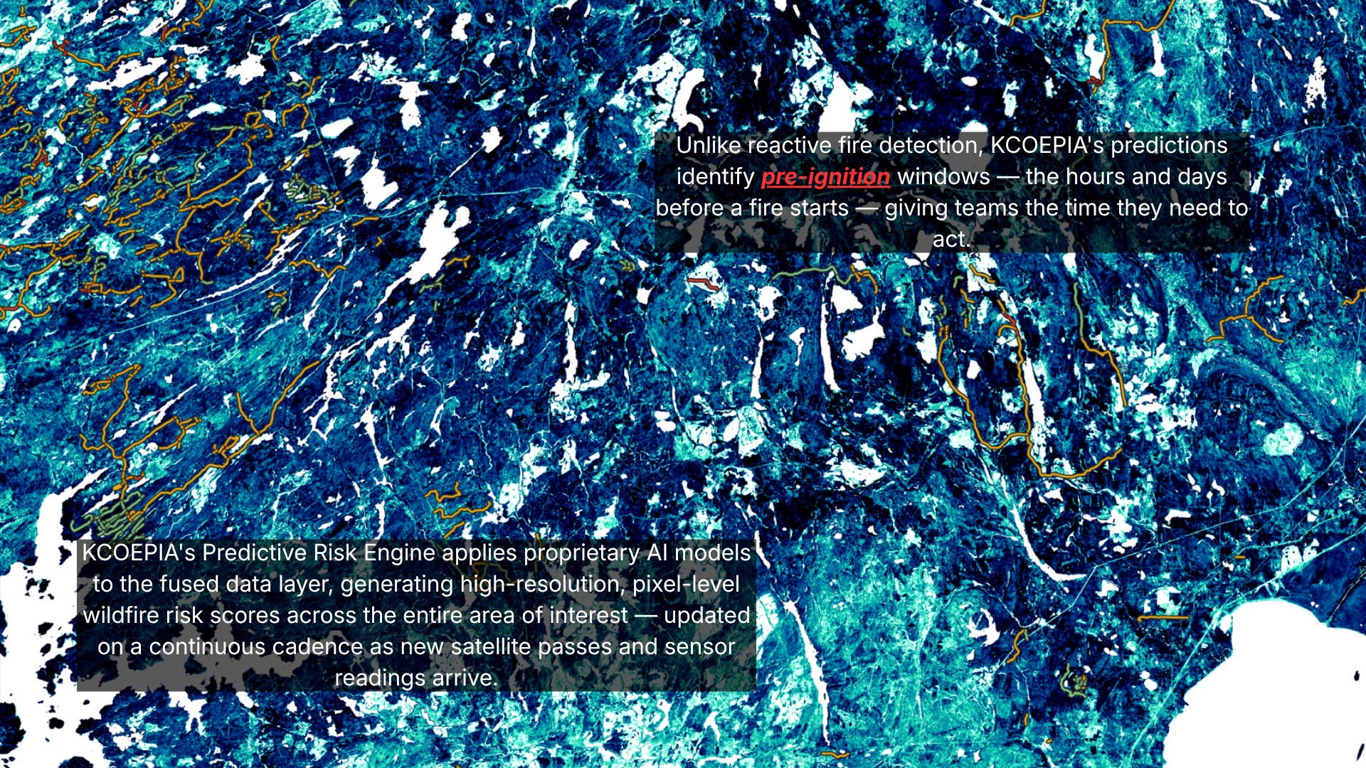
Vegetation moisture, fuel density, and weather indices computed and normalized at sub-pixel resolution.
ML-driven risk engine fuses environmental signals into a calibrated, asset-level risk score across defined AOIs.
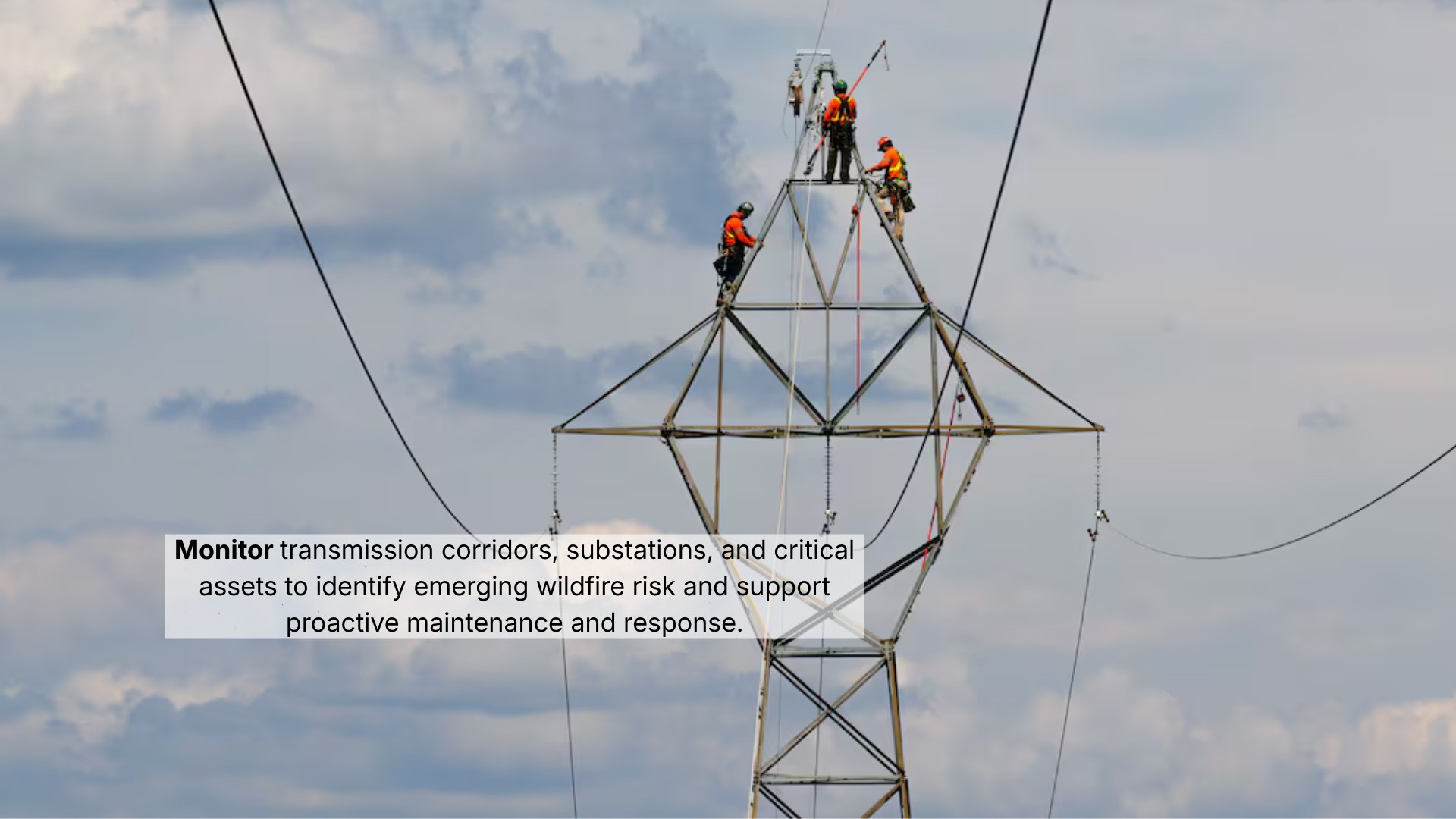
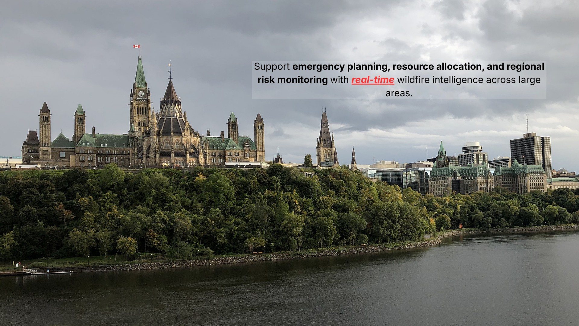
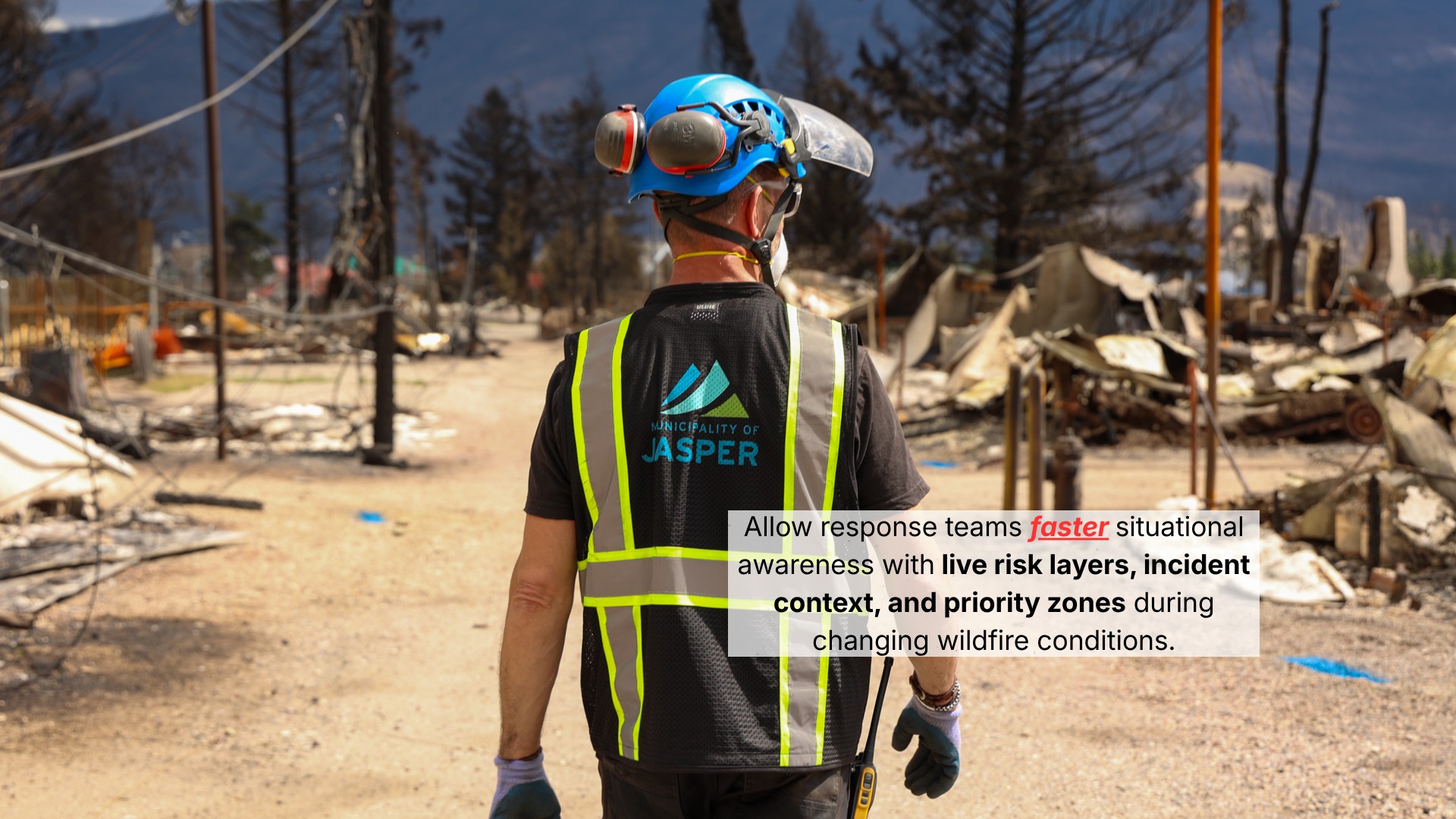
Risk overlays, threat alerts, and structured intervention protocols delivered to utilities, insurers, and community operators.
The window to act is before the fire. KCOEPIA gives communities, infrastructure owners, and governments the intelligence to protect what matters most.
Contact KCOEPIA →